
Distance: 278km (Cumulative: 24 054km)
Moving time: 4:39
Average speed: 60km/h
Road surface: 93% Tar
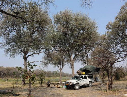
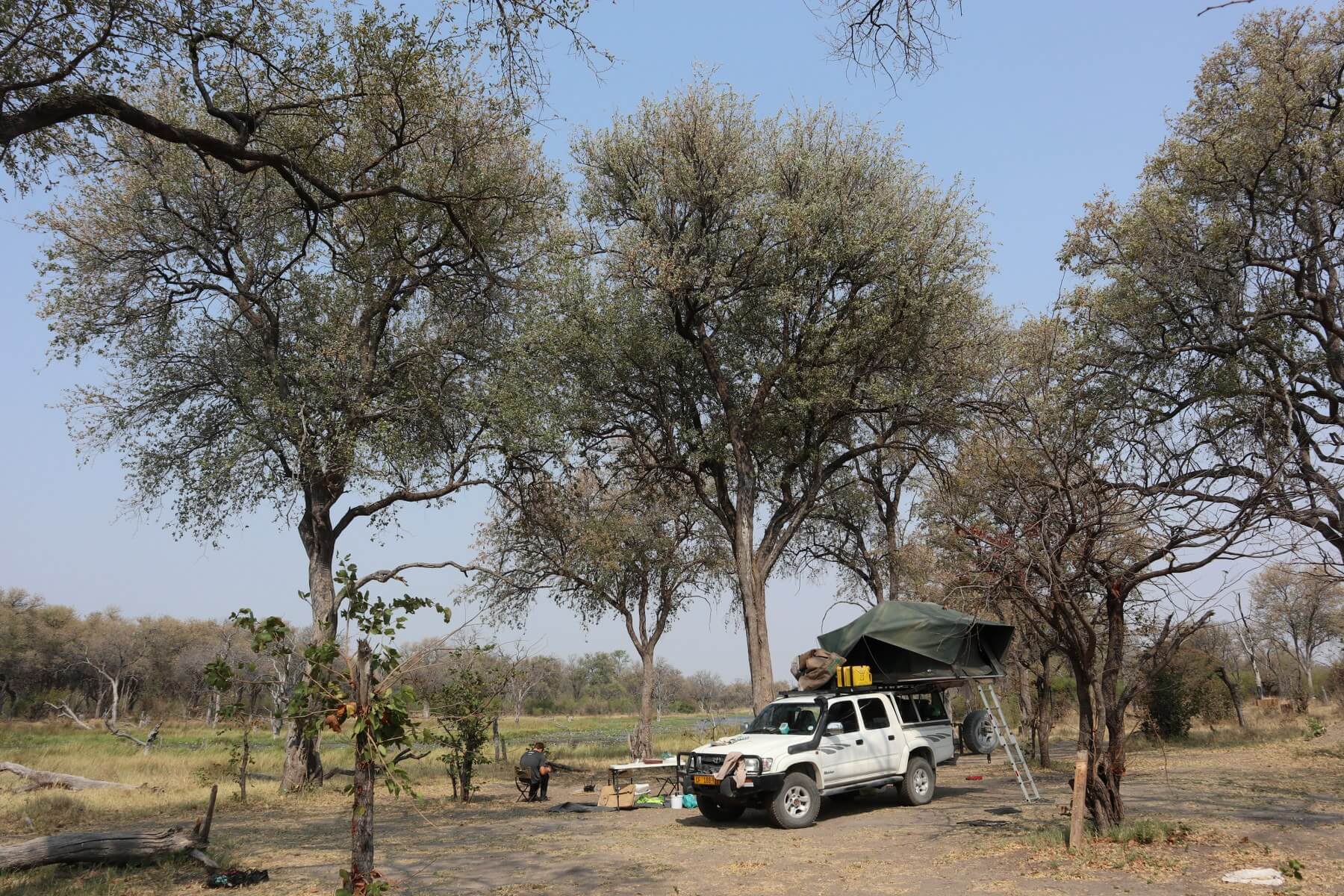
Accommodation: Camping
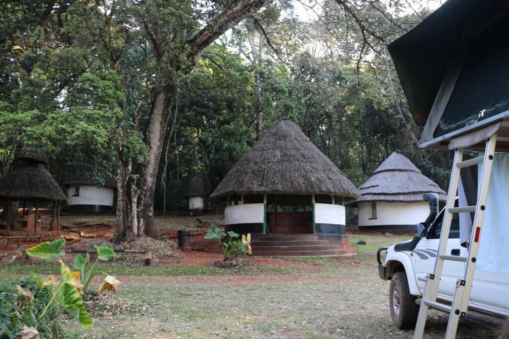
Chirinda Forest Campsite - R65 p.p
Beautiful campsite in rainforest, pit toilets.
We got woken up at 06:30 by the security guard who brought us the key to house number 7, which had a hot shower. Hugo got out while Caro snoozed a while longer. We packed up slowly and Hugo quickly did some work. After packing up completely we went for the hot shower which was quite nice after few days of cold water or no shower at all.
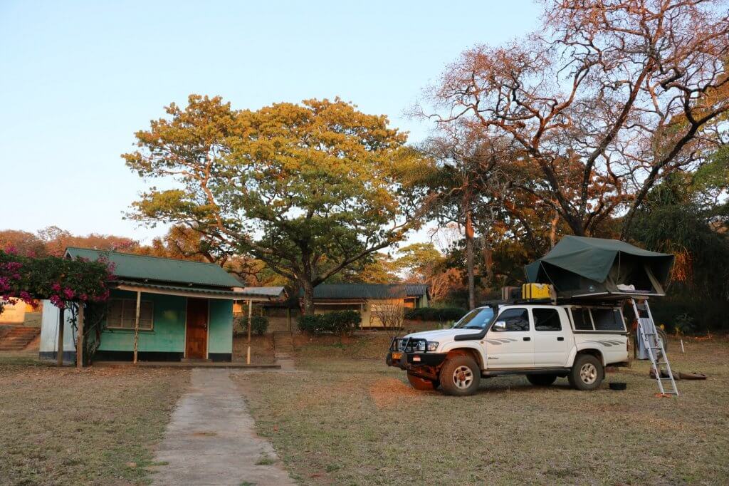
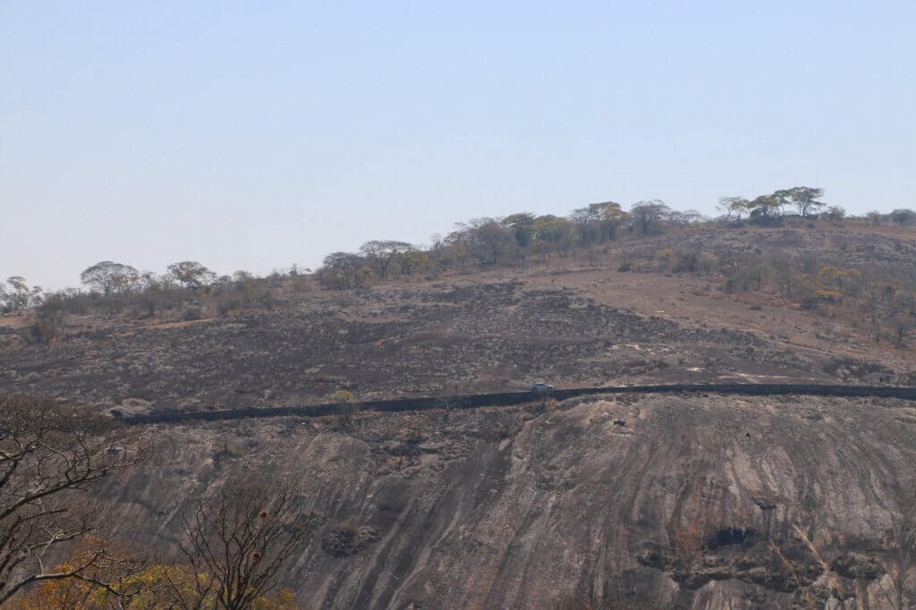
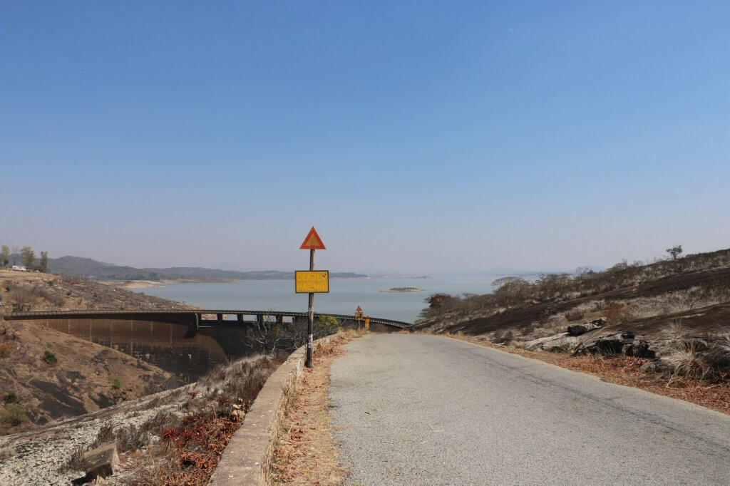
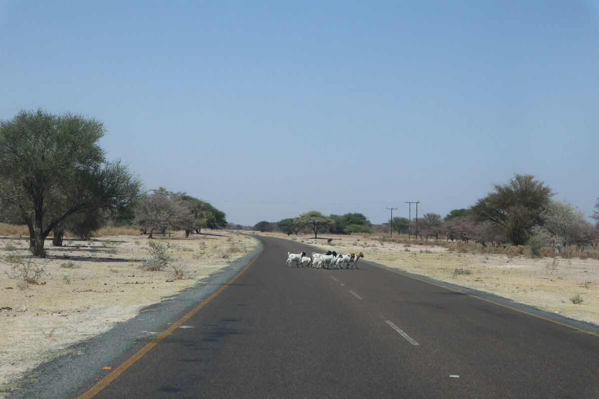
We eventually got on the road by 10:00. We took the small tar road around the lake and over the dam wall. The mountains are all solid pieces of granite rock, so the road had to be build up to be level as they couldn’t just cut into the mountain as on other passes.
After 25km the narrow tar road turned into gravel for 15km before we reached the A9.
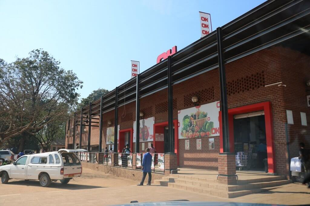
On the A9 we backtracked our route from three days ago to the Birchenough Bridge and then headed South again to Chipinge. The town had a very modern OK store where we bought some groceries and Zimbabwe beer for our label collection.
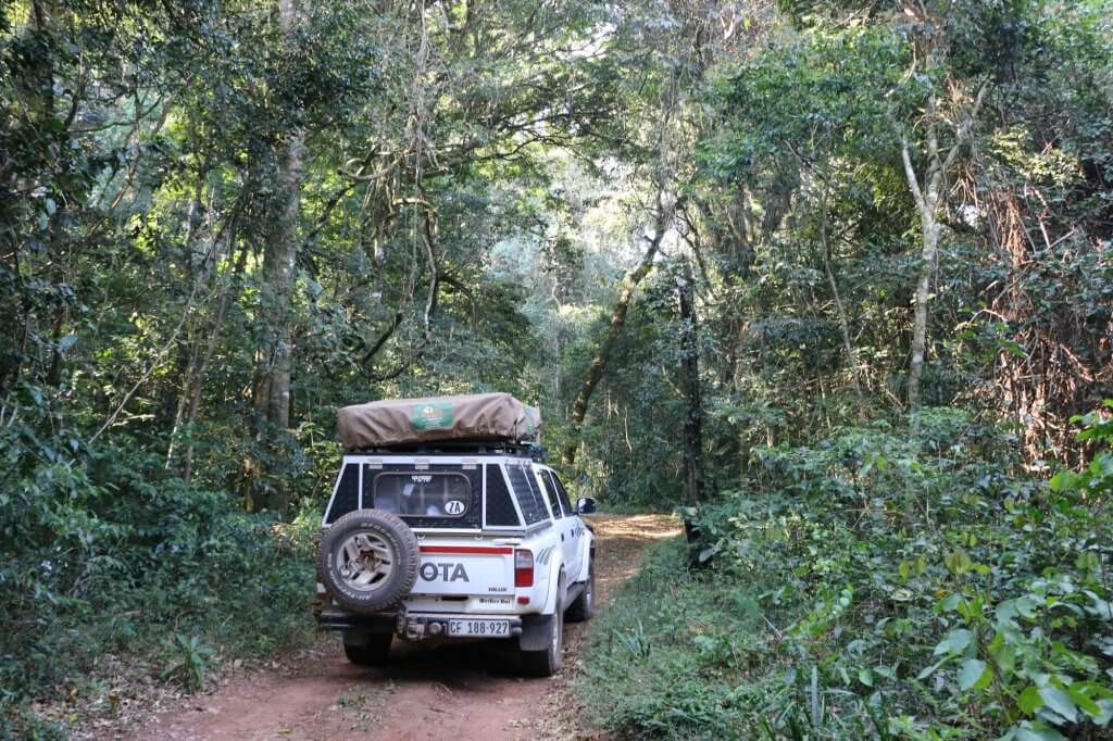
From Chipinge we went 30km to the Mt Selinda. To get to the Chirinda Forest Campsite we had to drive 2.5km on a very scenic two-spoor track through the Southern most rainforest or as wikipedia puts it “Zanzibar-Inhambane transitional rain forest, of which it represents the southernmost occurrence.”
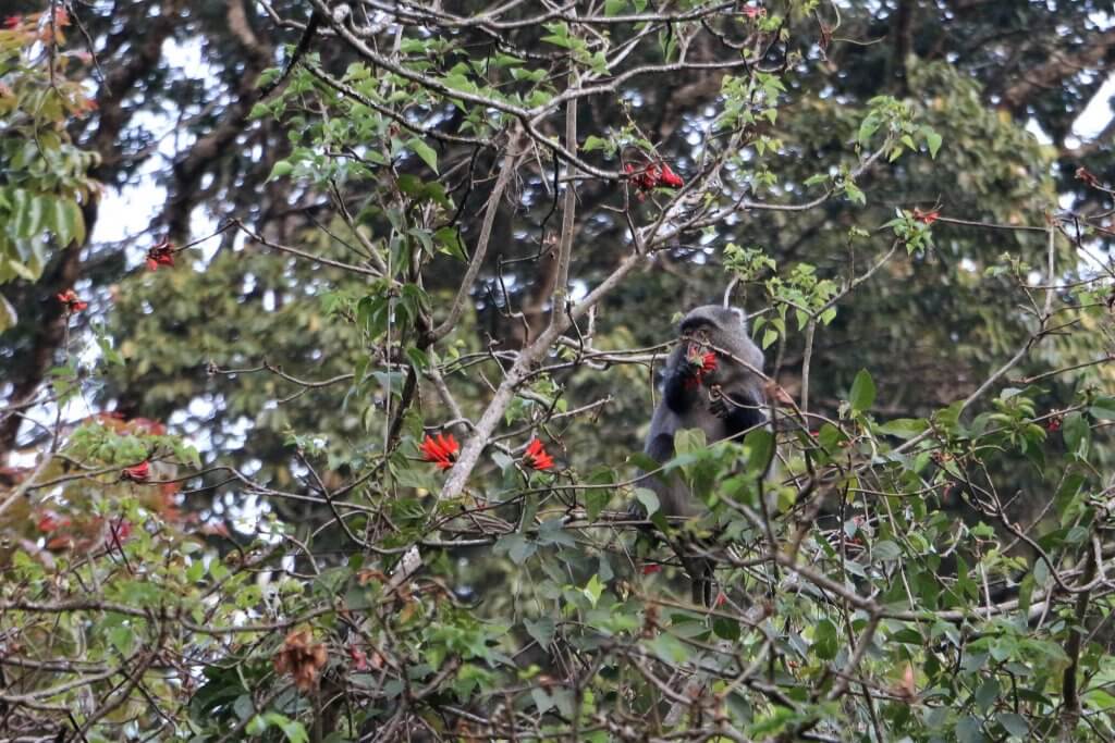
We received a friendly welcome at the campsite which usually costs $10 per person plus an entrance fee of $5 per person. We however only paid $5 per person. The campsite only has dirty pit toilets, but there is showers with wood fired hot water. The area on the other hand is super beautiful and lush and full of bird life.
For dinner Caro revived the leftover cooked potatoes with chorizo, onion and cheese.
I am looking to do this exact route in April but am having a hard time finding information on how passable the road is. I’ve seen some people say they heard it was single track dirt that is quite technical, but here on your blog you state the route was mostly tar.
So, what is the section of road like from when you leave the A9 at Birchenough Bridge to Espungabera border? I think it is often called the area through Mount Selinda. And what might it be like if it had recently rained?
Thanks, and awesome blog!
Hi, thanks for the compliments.
Roads in Africa are always changing and 2 years is a long time. Even brand new tar roads can deteriorate to gravel in 2 years. That being said the road was as far as we can remember not a single track (apart from the small detour we did to the campsite) so it should be passable all year round. As always ask locals once you are there.