
Distance: 175km (Cumulative: 652km)
Moving time: 4:30
Average speed: 39km/h
Road surface: Tar, gravel and soft sand
Accommodation: Camping
West Coast Wild Camping - R0 p.p
No facilities, beautiful setting
We stayed in bed until the sun baked us out. For breakfast we had coffee and rusks, which the Swiss prefer to eat dry as they don’t like the crumbles in their coffee.
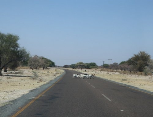
At 10:00 we are finally packed up and drive through Lambert’s Bay again. We stop at the Transnet road control point to see if we can drive on it. At first the guards said it is not allowed and our roof top tent will definitely not blend in with the usual Transnet traffic, but for R20 they said we can drive on the road if we go very quickly.
On the road we passed several other cars and people who all gave a friendly wave, so it didn’t feel illegal at all. There were also no further guards, so we drove all the way to Doringbaai on this road saving a lot of time and diesel.
Just outside town we saw a two-track road turning to the beach, we took it and saw other campers, to get back on the main road Hugo made a steep incline which made Caro stress in fear that we will tip over. Hugo assured her that it is nothing compared to what lies ahead in Africa, that didn’t reassure her at all.
Close to Doringbaai lies Strandfontein, a nice little town with internet speeds of up to 20Mbps. There’s also a caravan park with nice views over the ocean.
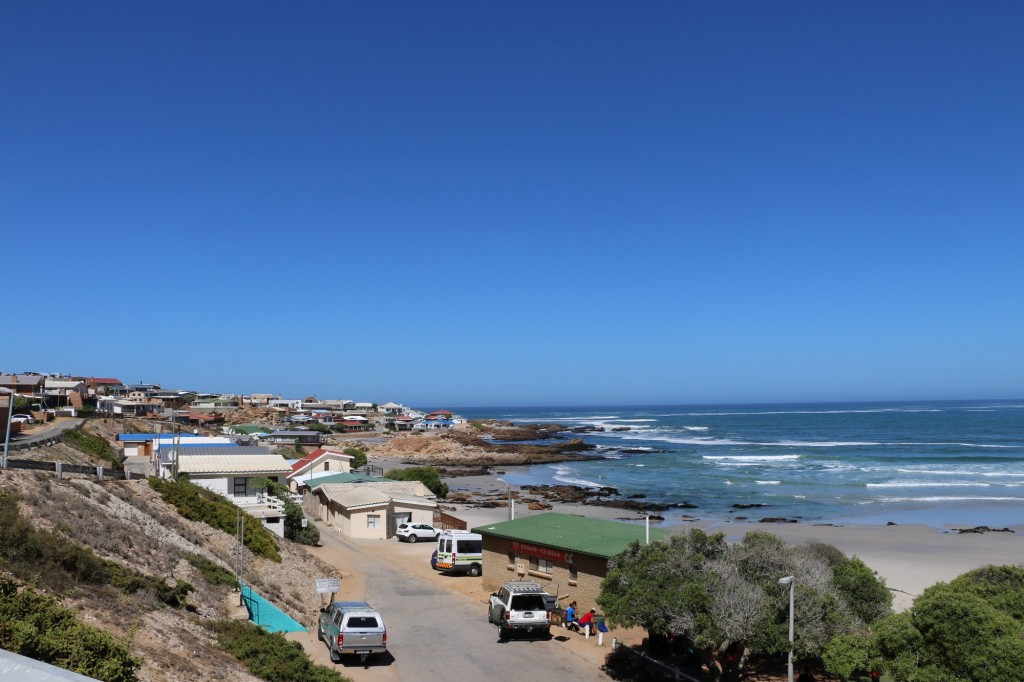
Strandfontein
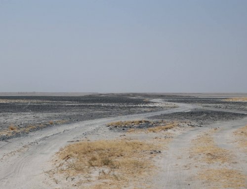
From there we took the tar road to Lutzville where we bought some snacks and Caro got a pair of flipflops from PEP for R30. From Lutzville we drove to Koekenaap and took a left at the second road. After deflating the tyres we headed straight for the beach. We continued driving on ‘roads’ next to the beach which doesn’t appear on either Google Maps or Open Street Maps (I’ll try and add it sometime). Tracks4Africa on the other hand did not only have the main ‘West Coast 4×4 trail’, but also every possible sand track turnoff.
We had lunch at 14:00 close to the ocean: Cheese, tomato, peanut butter and honey sandwiches — not everything together. Caro showed the Swiss colourful sea anemone (apparently not pronounced anemown), before we continued along the sandy tracks.
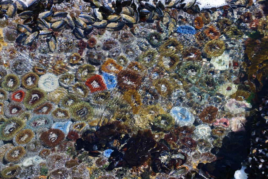
Colourful sea anemone
We had no idea for how long the no-mans land sections lasts so we had quiet the debate as to where to sleep for the night as we didn’t suddenly want to be somewhere where we cannot camp anymore, but also didn’t want to have to drive too far the next day on the sandy tracks.
We saw a few ‘permanent’ campsites (caravans or structures providing shade) that farmers set up to be used over the holidays and also one or two groups of people camping next to the beach. It is diffucult to find any information on this road between Lutzville and the Namakwa National Park. To us it seemed like there are three disctinct sections. The part from the turn-off after Koekenaap to Namakwa Sands (next to the beach). From Namakwa Sands to a farmer’s gate. At from that gate to the Namakwa National Park gate. I think a lot of people only start the ‘trail’ after Namakwa Sands. The reason for the disctinction at the Farmer’s Gate (should have taken a picture of his details at the gate) is that after the gate there are sign posts indicating various ‘camping spots’ like Tietiesbaai, Volwaterbaai, Ruitersvlei, Sewejaarskop, etc. The camping spots still has no facilities and is still free to camp (we assumed), but was possibly ‘set-up’ to reduce the impact of camping anywhere. It looks like the signposts (large squares build with rocks and cement) where set up by the municipality and some people mistakenly took it for a place to put their trash, which is now just lying around and polluting the area. Please remove your own trash!
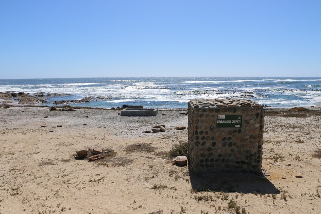
One of the sign posts showing the Sewejaarskop campsite.
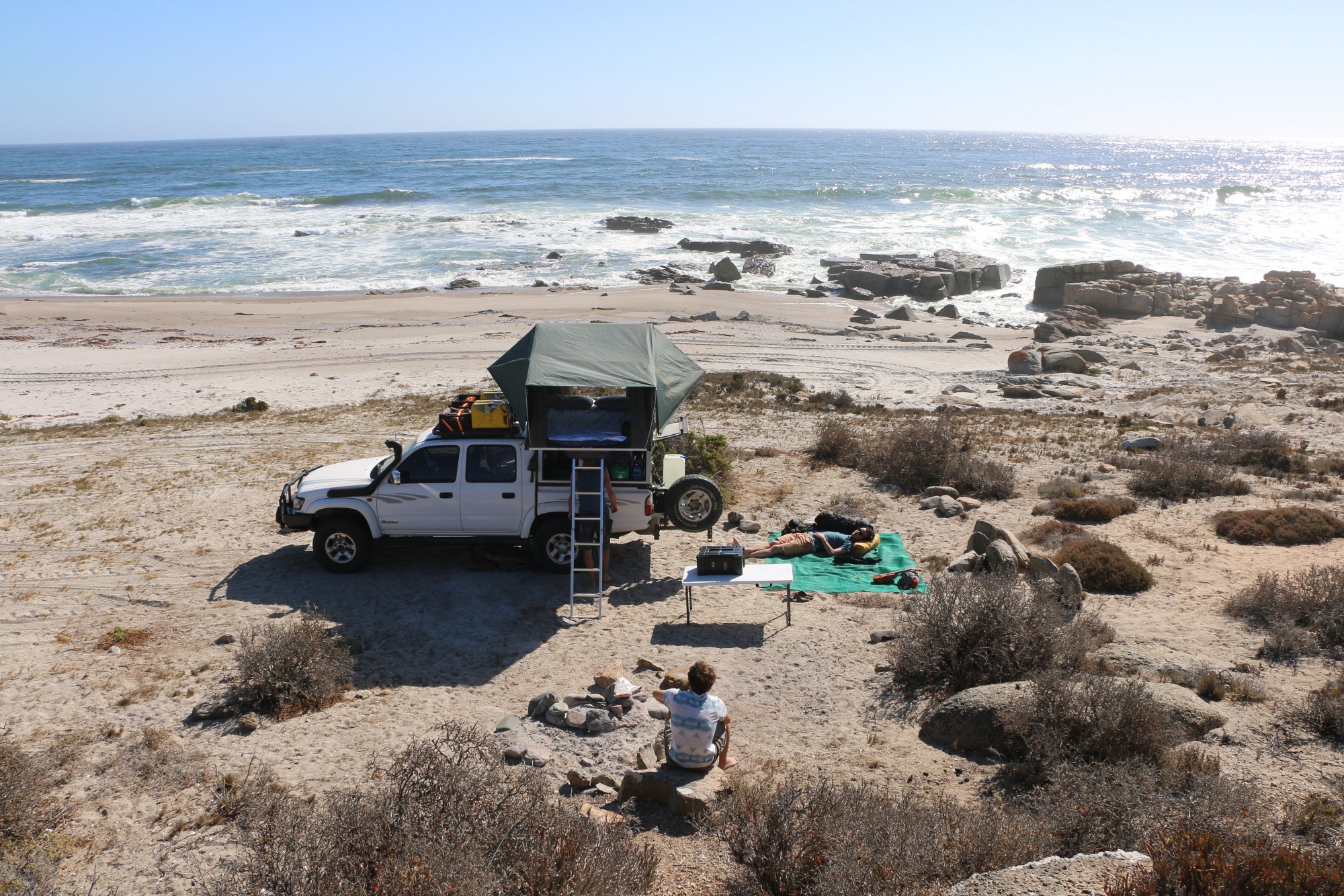
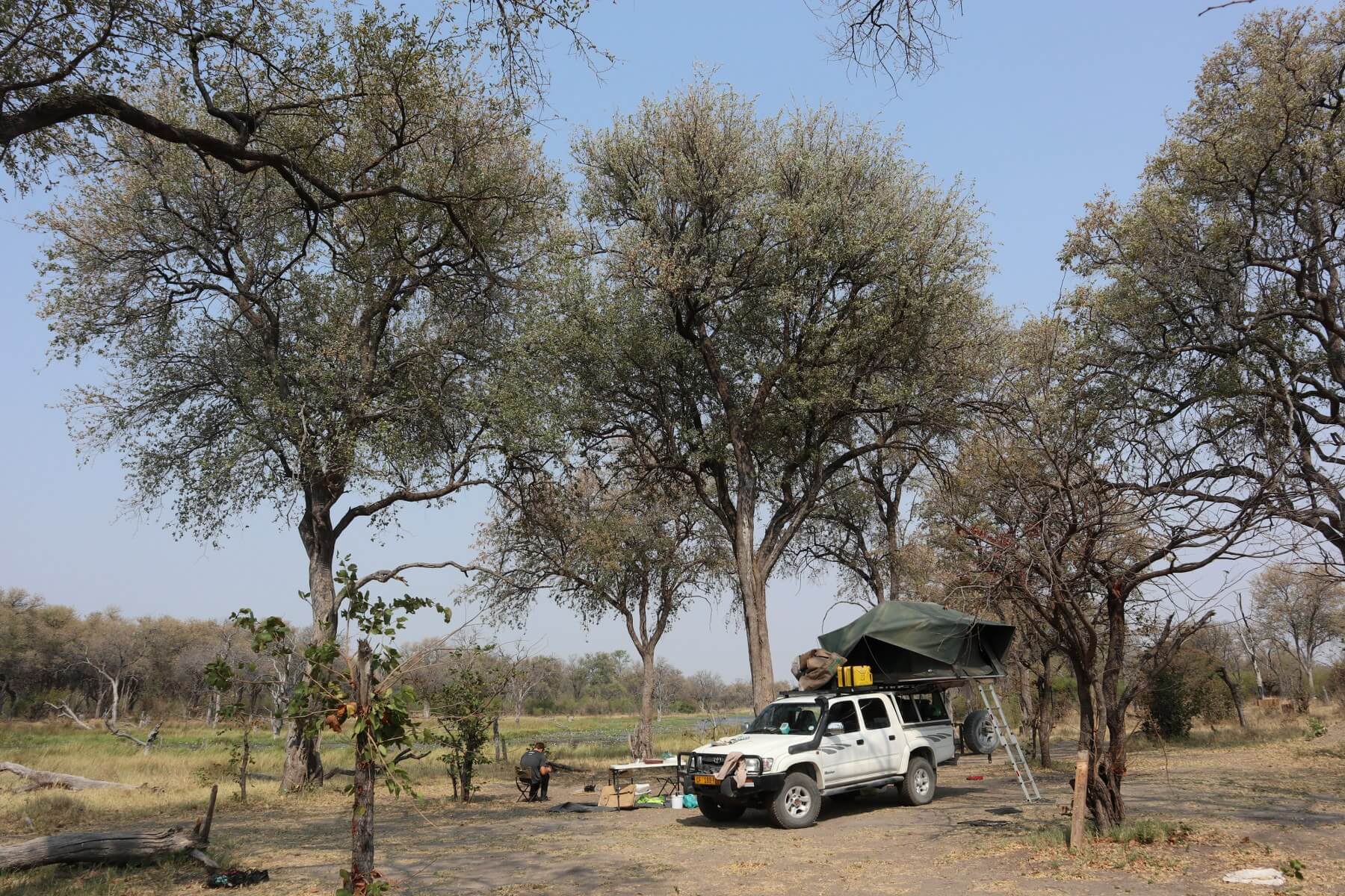
We ended up sleeping somewhere after Ruitersvlei. This Satellite view will give a better idea of the sand tracks and the beach we camped on. The MonkeyMobile performed really well through the soft sand and we had no issues so far.
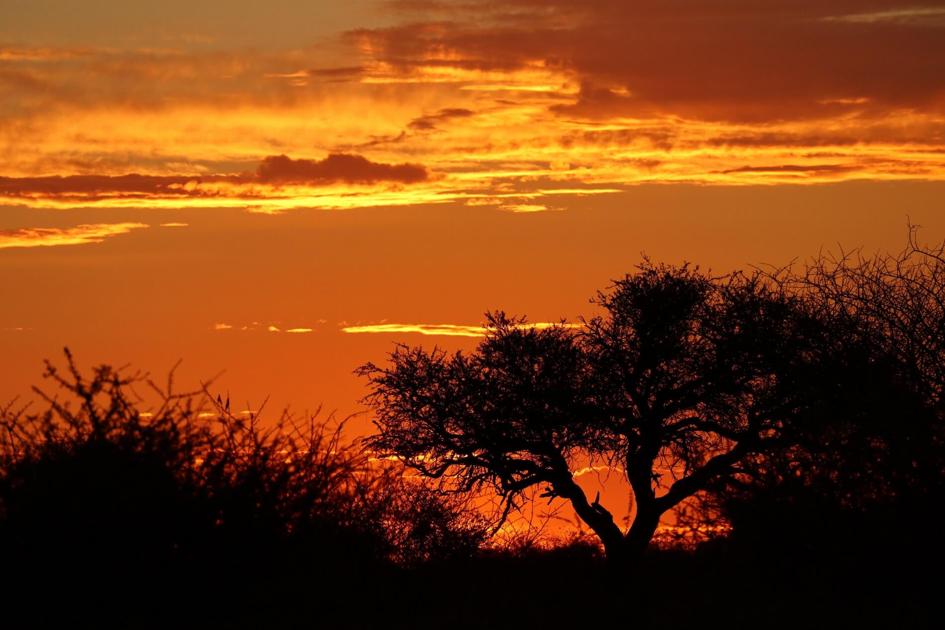
It was the Monkeys turn to make dinner. The Waeco Fridge has been set to -5C and has been performing really well. We took out 4 T-bone steaks which was still frozen solid. Caro made Pap with Chakalaka and Hugo braai’ed the Steaks. The Swiss enjoyed their box wine bought in Lutzville, while the Monkeys had ice cold beer shandy’s. While enjoying dinner with the sun setting, we realised it is Valentine’s Day. Even though it was a team effort Hugo received 10 out of 10 for best Valentine’s dinner ever. Afterwards we all went to wash the dishes in the ocean sand.
We played Sushi Go and ‘Be nice to’ the Neighbour till late at night.
Hi
I have read your post and would like to know if one could Cycle the route from Lutzville to Port Nolloth on the track bordering the beach?
I am cycling alone and my concern rests with the sand perhaps being too soft which will slow me down.It would seem that the stay over points would be Lutzville to Groenriviersmond then Hondeklipbaai followed by Port Nolloth.The 1st leg would be the most challenging distance wise.My issue is really the sand and perhaps the remoteness of the area
Personally I don’t think it is possible to cycle this route. The sand is very thick, even with a motorcycle one would need to be very skilled. If you have your own tent you can camp anywhere next to the coast between Lutzville and Groenriviersmond. Also you will need to pass through a national park which I doubt will allow cyclists.
If you’re heading North and want to go off the beaten track you will probably be better off cycling through the Cederbergs.