
We had a slow morning and packed for what was supposed to be a short hike through the Reichenbachklamm. We only reached the car park just after 13:00, which seemed perfectly reasonable for a short hike.
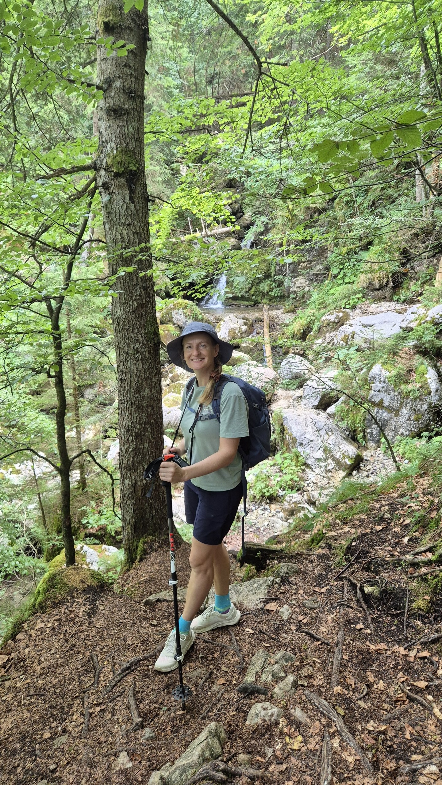
We stopped for a picnic next to the river, then followed the gorge upwards. By 15:30 we had reached the top and assumed we would simply circle back from there.
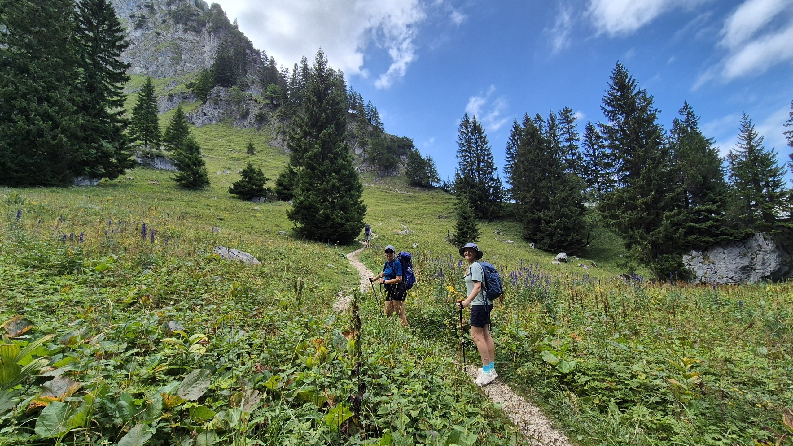
Anton had other plans.
The Bad Kissinger Hütte was apparently only another two hours away, and there was the promise of beer at the end. From where we stood, however, it appeared to be perched on top of another Mount Everest.
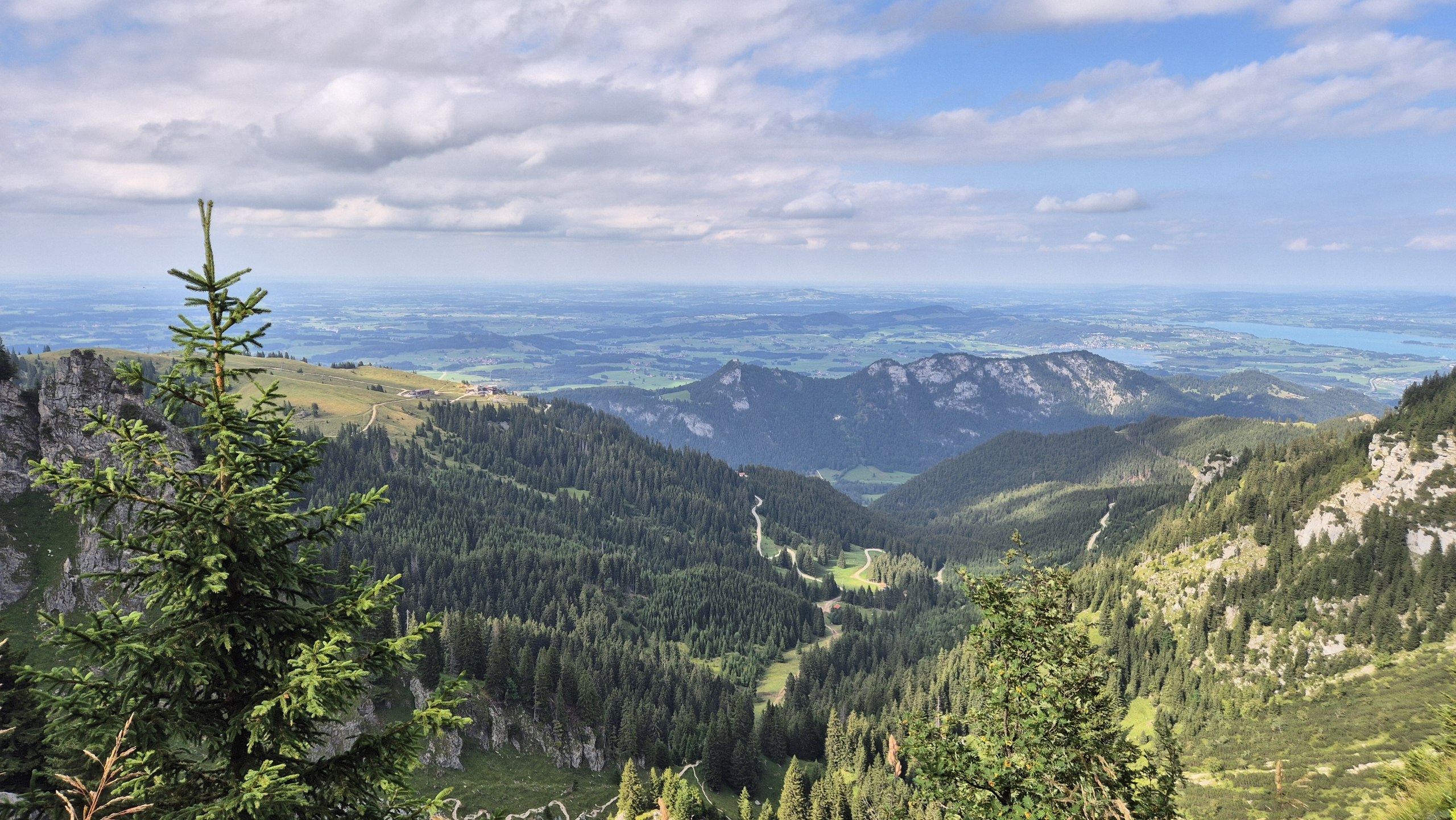
We agreed to continue as far as the last fork, where we could still turn right and take a circular route back. Once we reached it, the top did not look quite as far away anymore. So naturally, we kept going.
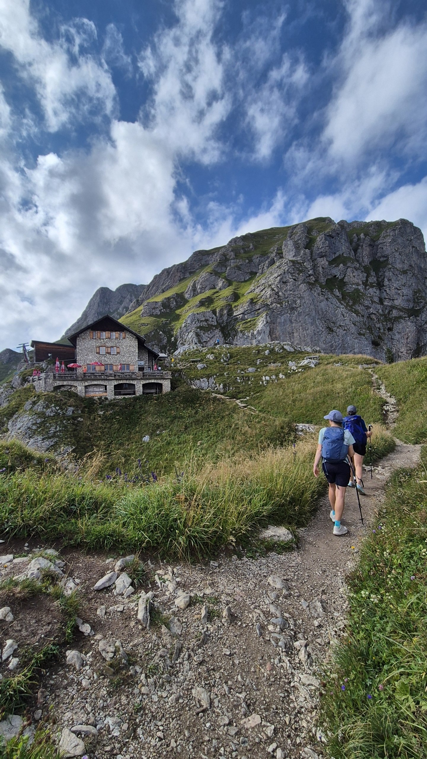
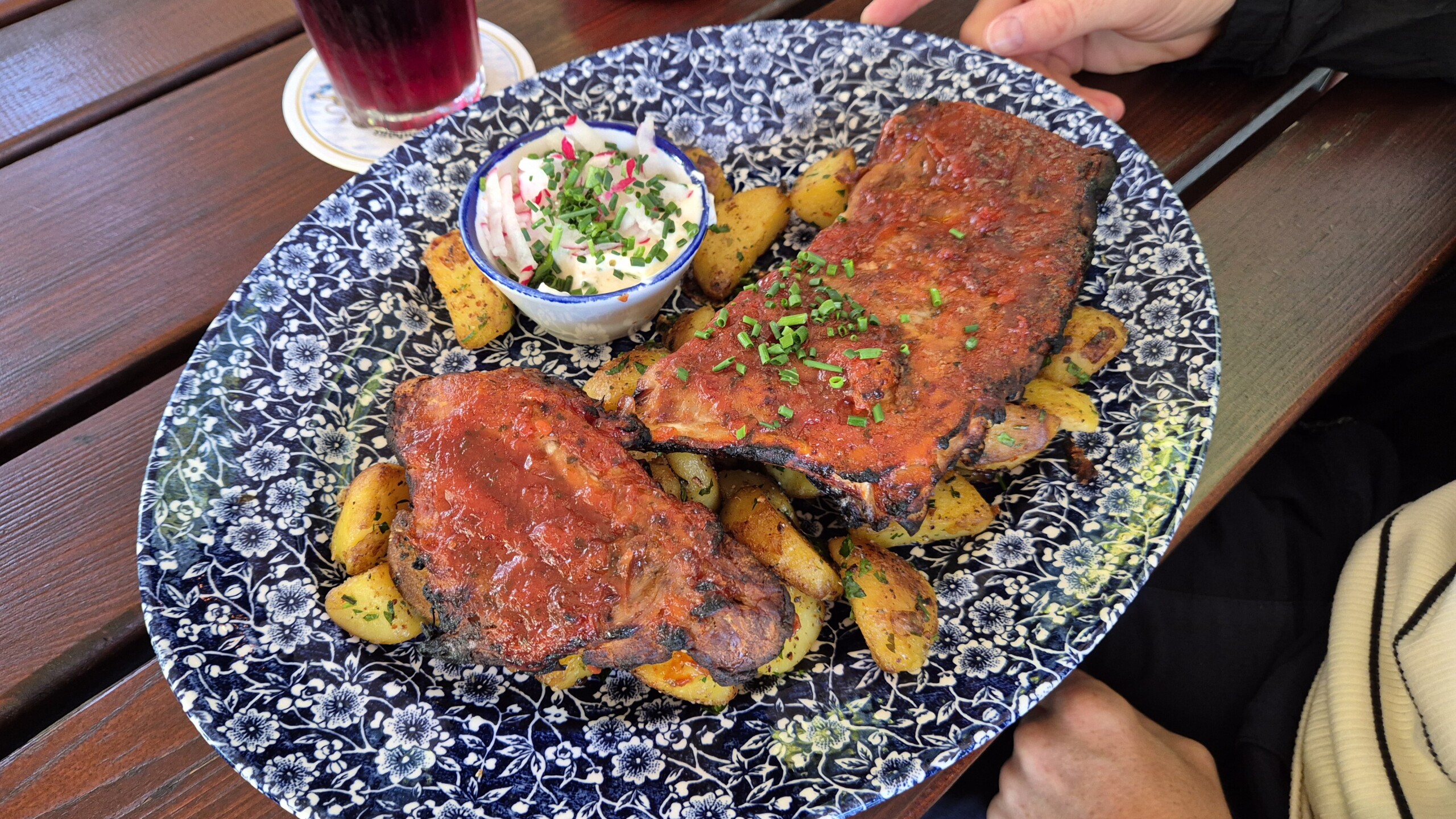
We reached the hut at 17:00, had a Radler and ordered lentil stew and Wurstsalat.
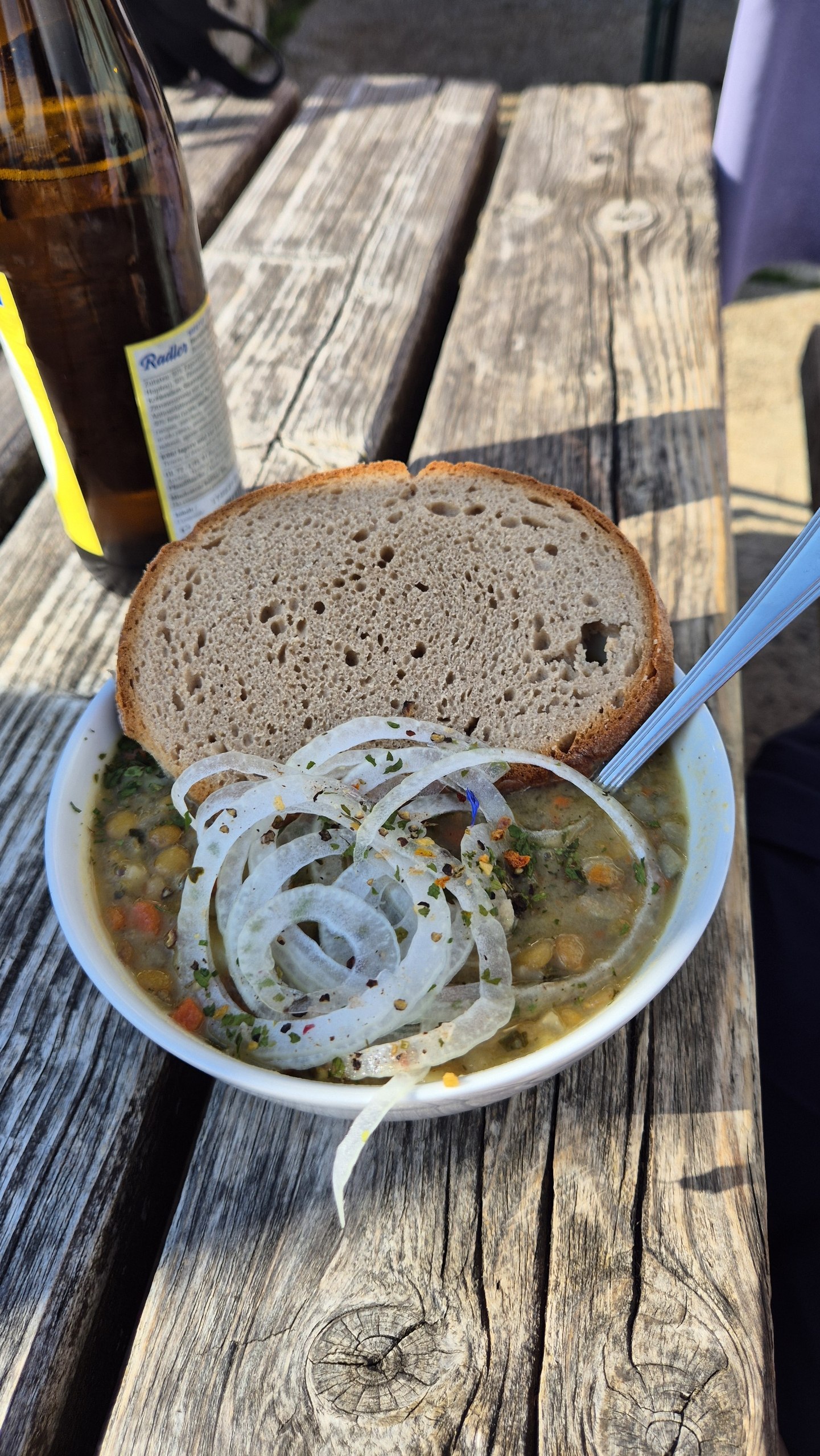
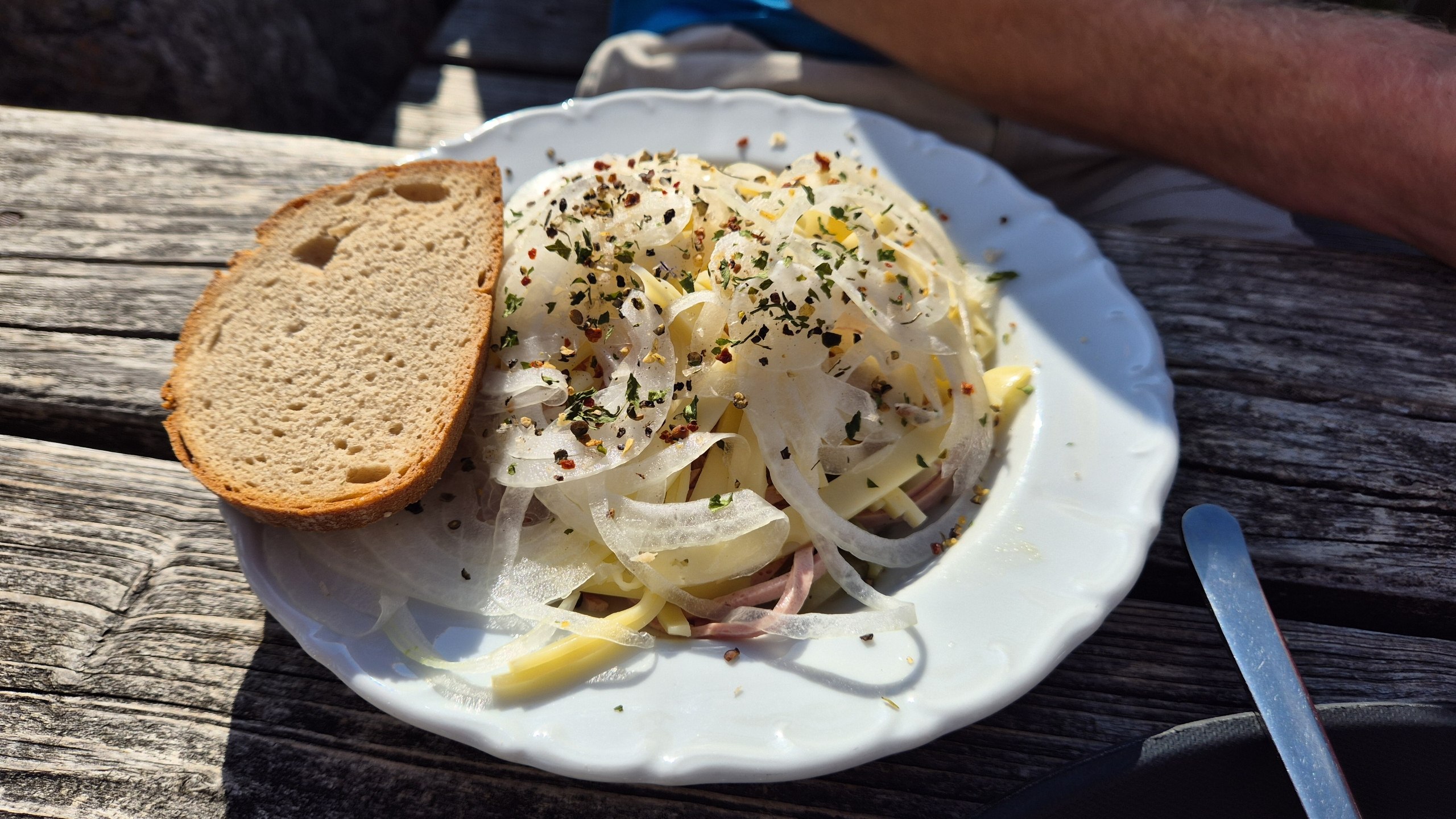
By 17:30 we realised that we had a problem. The car was still eight kilometres away, the route could take up to four hours, and there was about 1,000 metres of descent ahead of us.
Anton suggested that, since we were not going to reach the car before dark anyway, we might as well go even higher and cross the Aggenstein. We decided that perhaps we had made enough ambitious decisions for one afternoon.
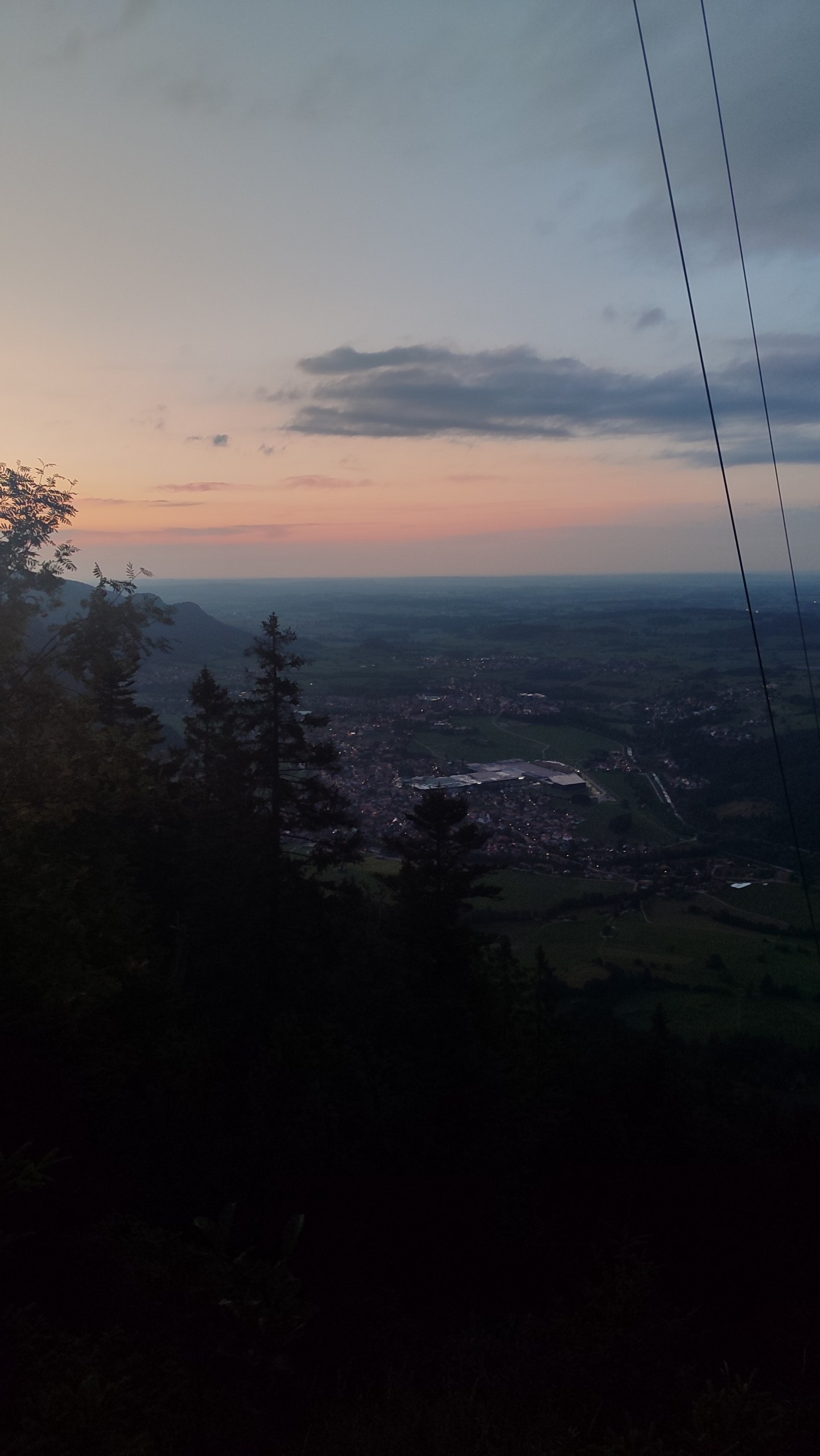
Instead, we headed back down the Böser Tritt. Despite the rather ominous name, it is an established mountain path between the hut and the Breitenberg — but a narrow, steep and rocky one that requires sure footing, especially on the descent. We then turned left onto a different, more scenic route back.
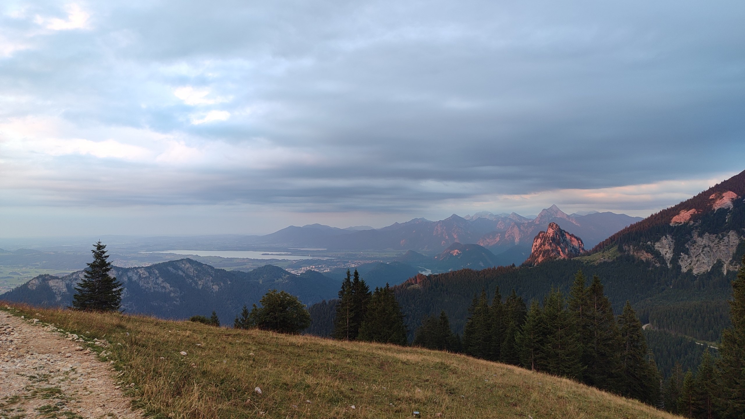
At 19:45 we found a picnic table and stopped to make coffee. It was still bright outside, which made the situation feel less ridiculous than it probably was.
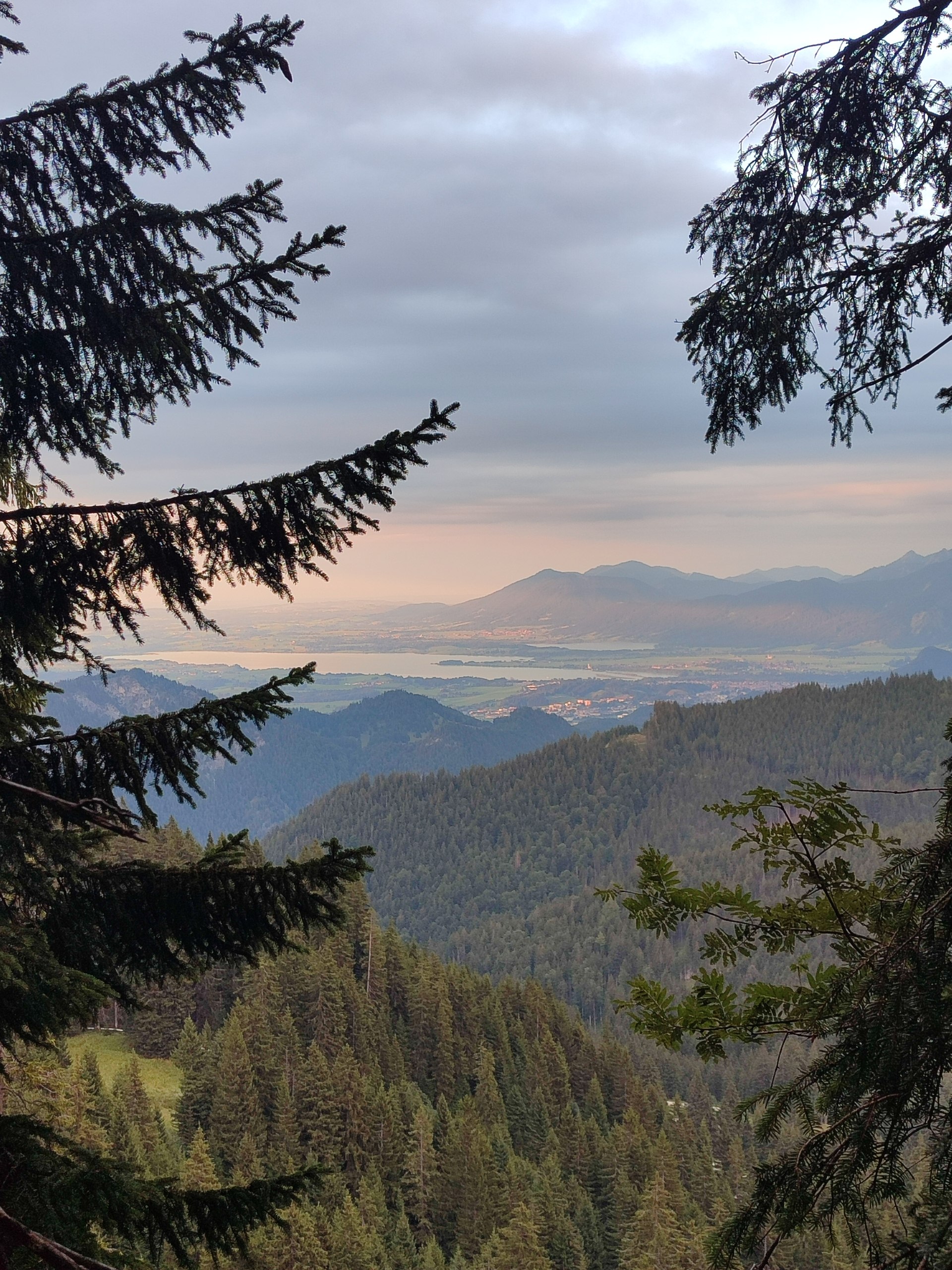
By 20:30 we reached the mountain station of the Breitenbergbahn. It had unfortunately closed hours earlier. Otherwise, we would have been very tempted to take it, because the real downhill hike still lay ahead: fifteen zigzags beneath the cable car.
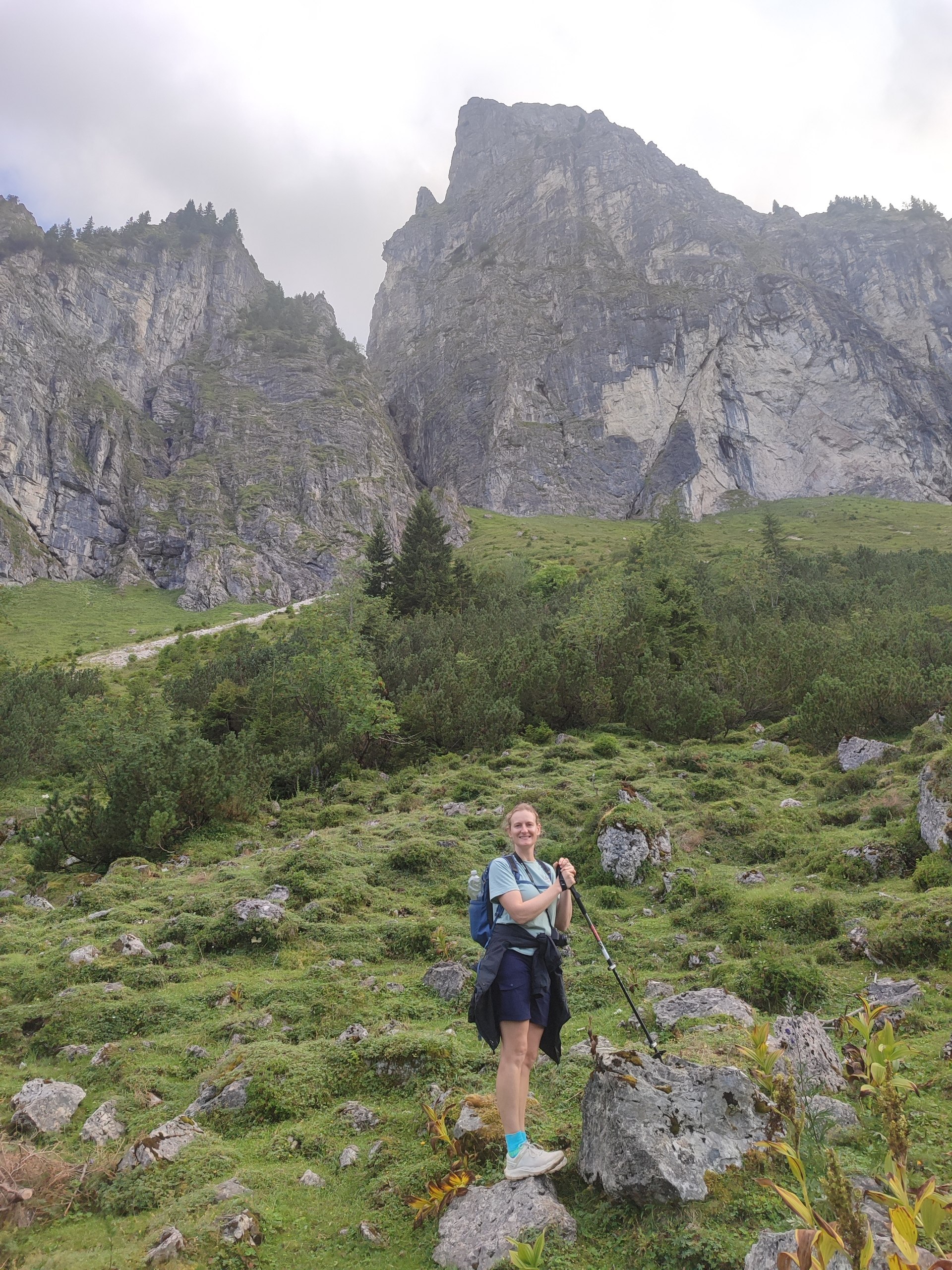
At 21:36 we finally had to use our phone lights to see the path. We reached the car at 22:22 — nine and a half hours after setting out on our short afternoon hike.
Our route
What began as a short afternoon walk became a 13.9 km route with roughly 1,200 metres of climbing and descent.
Steps: 22,770


Leave A Comment